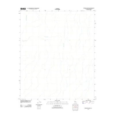
2012 Map of Mammoth Wash
USGS Topo · Published 2012About this map
Mammoth Wash defines the drainage patterns across this arid portion of Imperial County, carving a wide path as it flows through the southeastern California desert. This 2012 topographic record documents the complex network of ephemeral stream beds and desert washes that characterize the landscape, illustrating how water travels through this dry environment during rare precipitation events. To the northwest, German Diggins Wash joins the system, its name hinting at the historical mining activity and prospecting that once occurred in these remote desert reaches. The intricate contour lines provided by the U.S. Geological Survey allow for a detailed reading of the subtle elevation changes and geological formations that guide these seasonal waterways through the Colorado Desert.
Find a feature on this map
2 named features on this map. Tap any name to fly to it.
Don’t see what you’re looking for? This feature index may not catch every label — zoom into the map to look around manually.
Map Details
Editions of this 2012 Mammoth Wash Map
This is the sole edition of this map. No revisions or reprints were ever made.
Other maps of this area

1940 · Iris
USGS Topo · 1:62,500

1940 · Iris Pass
USGS Topo · 1:62,500

1945 · Iris Pass
USGS Topo · 1:62,500

1945 · Iris
USGS Topo · 1:62,500

1953 · Acolita
USGS Topo · 1:24,000

1953 · Chuckwalla Spring
USGS Topo · 1:62,500

1953 · Acolita
USGS Topo · 1:62,500

1954 · Salton Sea
USGS Topo · 1:250,000

1955 · Tortuga
USGS Topo · 1:24,000

1955 · Salton Sea
USGS Topo · 1:250,000