
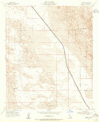
1953 Map of Acolita
USGS Topo · Published 1954About this map
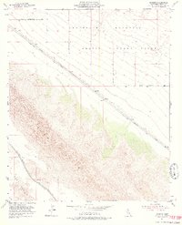
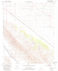
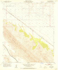
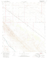
The Southern Pacific railroad cuts a diagonal line across this arid landscape, serving the isolated stop of Acolita. Surveyed in the mid-1950s, the terrain is defined by the shifting dunes of the Sand Hills and the rising slopes of the Chocolate Mountains to the northeast. Much of the northern territory is designated as an Aerial Gunnery Range, bounded by the Naval Reservation Bdy. Near the southwestern corner, the Coachella Canal provides a stark contrast to the surrounding desert, representing a critical piece of water infrastructure for the development of East Mesa. Travelers of this era navigated via the Niland-Glamis Road or followed a network of primitive tracks like the Jeep Trail through the open sands.
Find a feature on this map
11 named features on this map. Tap any name to fly to it.
Don’t see what you’re looking for? This feature index may not catch every label — zoom into the map to look around manually.
Map Details
Editions of this 1953 Acolita Map
5 editions found
Other maps of this area

1907 · Holtville
USGS Topo · 1:125,000

1940 · Iris
USGS Topo · 1:62,500

1940 · Alamorio
USGS Topo · 1:62,500

1942 · El Centro
USGS Topo · 1:250,000

1945 · Alamorio
USGS Topo · 1:62,500

1945 · Iris
USGS Topo · 1:62,500

1953 · Acolita
USGS Topo · 1:62,500

1954 · El Centro
USGS Topo · 1:250,000

1954 · Salton Sea
USGS Topo · 1:250,000
1954 · Glamis NW
USGS Topo · 1:24,000