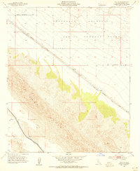
1953 Map of Acolita
USGS Topo · Published 1985About this map
The settlement of Acolita serves as a lone landmark along the Southern Pacific Railroad as it cuts across the Imperial Valley desert landscape in the early 1950s. This survey, mapped under State Engineer A. D. Edmonston, captures a terrain dominated by the shifting dunes of the Sand Hills and the rugged rise of the Chocolate Mountains. Military activity is a defining characteristic of the northern area, marked by a significant Aerial Gunnery Range and a defined Naval Reservation Bdy. Critical desert infrastructure is visible in the southwest, where the Coachella Canal winds past East Mesa, illustrating the era's focus on water management and transport. The Niland-Glamis Road parallels the rail line, providing the primary overland route through this arid region alongside several primitive Jeep Trails.
Find a feature on this map
11 named features on this map. Tap any name to fly to it.
Don’t see what you’re looking for? This feature index may not catch every label — zoom into the map to look around manually.
Map Details
Editions of this 1953 Acolita Map
5 editions found
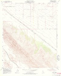
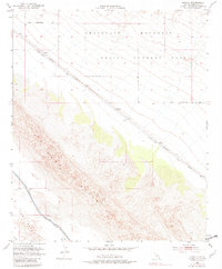
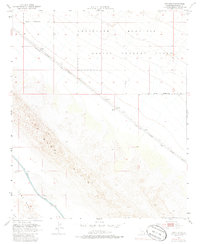
Other maps of this area

1907 · Holtville
USGS Topo · 1:125,000

1940 · Iris
USGS Topo · 1:62,500

1940 · Alamorio
USGS Topo · 1:62,500

1942 · El Centro
USGS Topo · 1:250,000

1945 · Alamorio
USGS Topo · 1:62,500

1945 · Iris
USGS Topo · 1:62,500

1953 · Acolita
USGS Topo · 1:24,000

1953 · Acolita
USGS Topo · 1:62,500

1954 · El Centro
USGS Topo · 1:250,000

1954 · Salton Sea
USGS Topo · 1:250,000