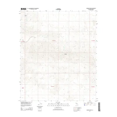
2015 Map of Mammoth Wash
USGS Topo · Published 2015About this map
The Chocolate Mountains dominate this arid landscape within Imperial County, defining the drainage patterns and rugged relief of the region. This 2015 survey illustrates a wilderness shaped by desert hydrology, where Mammoth Wash and German Diggins Wash carve through the terrain as ephemeral watercourses. These washes, alongside Martinez Gulch, represent the primary natural corridors through the steep slopes of the mountain range. The map provides a precise view of the Public Land Survey System, detailing the townships and ranges such as t11s r17e and t12s r17e that organize this uninhabited portion of the California desert.
Find a feature on this map
10 named features on this map. Tap any name to fly to it.
Don’t see what you’re looking for? This feature index may not catch every label — zoom into the map to look around manually.
Map Details
Editions of this 2015 Mammoth Wash Map
This is the sole edition of this map. No revisions or reprints were ever made.
Other maps of this area

1940 · Iris
USGS Topo · 1:62,500

1940 · Iris Pass
USGS Topo · 1:62,500

1945 · Iris Pass
USGS Topo · 1:62,500

1945 · Iris
USGS Topo · 1:62,500

1953 · Acolita
USGS Topo · 1:24,000

1953 · Chuckwalla Spring
USGS Topo · 1:62,500

1953 · Acolita
USGS Topo · 1:62,500

1954 · Salton Sea
USGS Topo · 1:250,000

1955 · Tortuga
USGS Topo · 1:24,000

1955 · Salton Sea
USGS Topo · 1:250,000