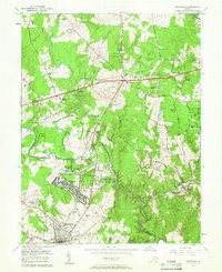
1957 Map of Manassas
USGS Topo · Published 1961About this map
Manassas and the growing residential developments of Manassas Park and Yorkshire occupy the southern portion of this mid-century landscape. The area is defined by the winding course of Bull Run, which serves as the natural boundary between Prince William and Fairfax counties. Suburban expansion is evident in the emergence of Bull Run Estates, Stonewall Acres, and Centreville Farms, yet much of the terrain remains characterized by woodlots and small family farms such as Marshall Farms.
Find a feature on this map
62 named features on this map. Tap any name to fly to it.
Don’t see what you’re looking for? This feature index may not catch every label — zoom into the map to look around manually.
Map Details
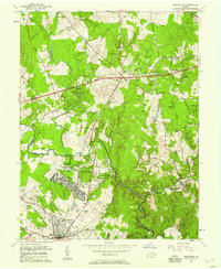
Editions of this 1957 Manassas Map
2 editions found
Other maps of this area

1890 · Mt. Vernon
USGS Topo · 1:125,000

1891 · Mt. Vernon
USGS Topo · 1:125,000

1894 · Warrenton
USGS Topo · 1:125,000

1894 · Mt. Vernon
USGS Topo · 1:125,000

1897 · Mt. Vernon
USGS Topo · 1:125,000

1915 · Fairfax
USGS Topo · 1:62,500

1927 · Quantico
USGS Topo · 1:62,500

1933 · Middleburg
USGS Topo · 1:62,500

1940 · Quantico
USGS Topo · 1:62,500

1943 · Quantico
USGS Topo · 1:62,500