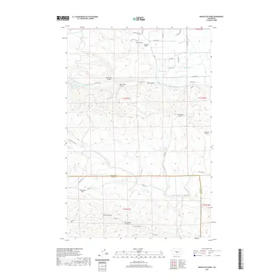
2020 Map of Manastash Creek
USGS Topo · Published 2020About this map
Ellensburg Pass serves as a critical geographic marker in this section of central Washington, where the high desert terrain of the Kittitas and Yakima county line meets the complex drainage systems of the eastern Cascades. The map reveals an intricate network of deep-cut drainages, including Stone Quarry Canyon, Reed Canyon, and Horse Trough Canyon, which feed into the primary waterways of Manastash Creek and Umtanum Creek.
Find a feature on this map
42 named features on this map. Tap any name to fly to it.
Don’t see what you’re looking for? This feature index may not catch every label — zoom into the map to look around manually.
Map Details
Editions of this 2020 Manastash Creek Map
This is the sole edition of this map. No revisions or reprints were ever made.
Other maps of this area

1897 · Mount Stuart
USGS Topo · 1:125,000

1899 · Ellensburg
USGS Topo · 1:125,000

1901 · Ellensburg
USGS Topo · 1:125,000

1902 · Mount Stuart
USGS Topo · 1:125,000

1950 · Yakima
USGS Topo · 1:250,000

1957 · Wenatchee
USGS Topo · 1:250,000
1958 · Ellensburg South
USGS Topo · 1:24,000

1958 · Thorp
USGS Topo · 1:24,000

1958 · Ellensburg
USGS Topo · 1:62,500

1958 · Thorp
USGS Topo · 1:62,500