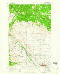
1958 Map of Thorp
USGS Topo · Published 1960About this map
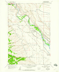
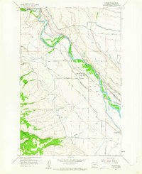
The Yakima River carves through the heart of this landscape, marking the transition from the elevated Thorp Prairie to the fertile Kittitas Valley. This 1958 field survey captures the town of Thorp during a period of significant rail activity, where the Northern Pacific and the Chicago Milwaukee St Paul and Pacific railroads run parallel through the river corridor. The presence of the Thorp Depot and the Grange Hall highlights the town's role as a local agricultural and transit hub.
Find a feature on this map
50 named features on this map. Tap any name to fly to it.
Don’t see what you’re looking for? This feature index may not catch every label — zoom into the map to look around manually.
Map Details
Editions of this 1958 Thorp Map
2 editions found
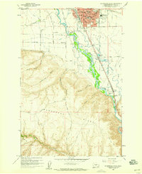
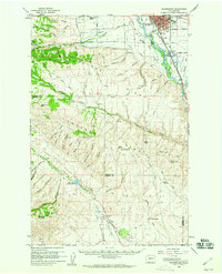
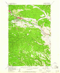
Other maps of this area

1897 · Mount Stuart
USGS Topo · 1:125,000

1899 · Ellensburg
USGS Topo · 1:125,000

1901 · Ellensburg
USGS Topo · 1:125,000

1902 · Mount Stuart
USGS Topo · 1:125,000

1950 · Yakima
USGS Topo · 1:250,000

1957 · Wenatchee
USGS Topo · 1:250,000
1958 · Ellensburg South
USGS Topo · 1:24,000
1958 · Ellensburg
USGS Topo · 1:62,500
1958 · Thorp
USGS Topo · 1:62,500
1958 · Cle Elum
USGS Topo · 1:62,500