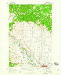
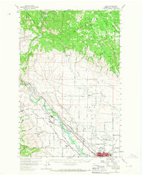
1958 Map of Thorp
USGS Topo · Published 1960About this map
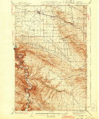
The Yakima River cuts a prominent path through this 1958 landscape, serving as a corridor for both the Northern Pacific and the Chicago Milwaukee St Paul and Pacific railroads. The town of Thorp sits at a nexus of these rails and river-fed irrigation canals, while to the southeast, the growing footprint of Ellensburg includes the Central Wash College of Education and the Ellensburg Municipal Airport.
Find a feature on this map
86 named features on this map. Tap any name to fly to it.
Don’t see what you’re looking for? This feature index may not catch every label — zoom into the map to look around manually.
Map Details
Editions of this 1958 Thorp Map
2 editions found
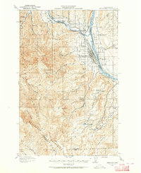
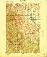
Other maps of this area

1897 · Mount Stuart
USGS Topo · 1:125,000

1899 · Ellensburg
USGS Topo · 1:125,000

1901 · Ellensburg
USGS Topo · 1:125,000

1902 · Mount Stuart
USGS Topo · 1:125,000
1913 · Wenatchee
USGS Topo · 1:62,500
1915 · Wenatchee
USGS Topo · 1:62,500

1920 · Colockum Pass
USGS Topo · 1:125,000

1922 · Colockum Pass
USGS Topo · 1:125,000

1938 · Badger Pocket
USGS Topo · 1:48,000
1943 · Badger Pocket
USGS Topo · 1:62,500