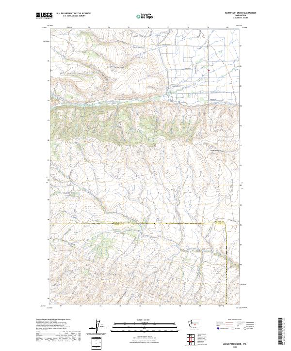
2023 Map of Manastash Creek
USGS Topo · Published 2023About this map
Manastash Ridge and Umtanum Ridge dominate this section of the central Washington landscape, creating a series of deep canyons and high passes. The terrain is defined by the drainage systems of Manastash Creek and Umtanum Creek, which cut through the ridges toward the Yakima Valley. Local water management is visible through the KRD (Kittitas Reclamation District) infrastructure, including the South Branch Canal and its South Branch Extension, which bring irrigation to the higher elevations.
Find a feature on this map
41 named features on this map. Tap any name to fly to it.
Don’t see what you’re looking for? This feature index may not catch every label — zoom into the map to look around manually.
Map Details
Editions of this 2023 Manastash Creek Map
This is the sole edition of this map. No revisions or reprints were ever made.
Other maps of this area

1897 · Mount Stuart
USGS Topo · 1:125,000

1899 · Ellensburg
USGS Topo · 1:125,000

1901 · Ellensburg
USGS Topo · 1:125,000

1902 · Mount Stuart
USGS Topo · 1:125,000

1950 · Yakima
USGS Topo · 1:250,000

1957 · Wenatchee
USGS Topo · 1:250,000
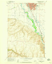
1958 · Ellensburg South
USGS Topo · 1:24,000

1958 · Thorp
USGS Topo · 1:24,000

1958 · Ellensburg
USGS Topo · 1:62,500

1958 · Thorp
USGS Topo · 1:62,500