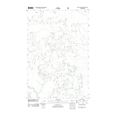
2011 Map of Manastash Lake
USGS Topo · Published 2011About this map
Manastash Lake sits at the northern edge of this high-elevation landscape in Yakima County, marking a terrain defined by steep ridges and complex drainages. The area is characterized by significant peaks like Bald Mountain and distinct landforms such as Devils Slide and Rocky Saddle. A network of Forest Service roads, including Nat For Dev Rd 1701 and Bald Mountain Rd, provides access to the interior, tracing the paths of numerous waterways such as Lefthand Fork Rock Creek and North Fork Wenas Creek.
Find a feature on this map
24 named features on this map. Tap any name to fly to it.
Don’t see what you’re looking for? This feature index may not catch every label — zoom into the map to look around manually.
Map Details
Editions of this 2011 Manastash Lake Map
This is the sole edition of this map. No revisions or reprints were ever made.
Other maps of this area

1897 · Mount Stuart
USGS Topo · 1:125,000

1899 · Ellensburg
USGS Topo · 1:125,000

1901 · Ellensburg
USGS Topo · 1:125,000

1901 · Snoqualmie Pass
USGS Topo · 1:125,000

1902 · Mount Aix
USGS Topo · 1:125,000

1902 · Mount Stuart
USGS Topo · 1:125,000

1903 · Snoqualmie
USGS Topo · 1:125,000

1904 · Mt Aix
USGS Topo · 1:125,000

1950 · Yakima
USGS Topo · 1:250,000

1957 · Wenatchee
USGS Topo · 1:250,000