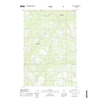
2020 Map of Manastash Lake
USGS Topo · Published 2020About this map
Manastash Lake and Milk Lake sit high in this high-altitude landscape along the border of Wenatchee National Forest and Snoqualmie National Forest. The area is defined by sharp topographic shifts, featuring named landmarks such as Bald Mtn and the steep Devils Slide. A network of high-clearance routes like 4WD Summit and 4WD Mid Summit traverse the ridgelines, providing access to remote springs including Cattle Camp Spring and Two Point Spring.
Find a feature on this map
46 named features on this map. Tap any name to fly to it.
Don’t see what you’re looking for? This feature index may not catch every label — zoom into the map to look around manually.
Map Details
Editions of this 2020 Manastash Lake Map
This is the sole edition of this map. No revisions or reprints were ever made.
Other maps of this area

1897 · Mount Stuart
USGS Topo · 1:125,000

1899 · Ellensburg
USGS Topo · 1:125,000

1901 · Ellensburg
USGS Topo · 1:125,000

1901 · Snoqualmie Pass
USGS Topo · 1:125,000

1902 · Mount Aix
USGS Topo · 1:125,000

1902 · Mount Stuart
USGS Topo · 1:125,000

1903 · Snoqualmie
USGS Topo · 1:125,000

1904 · Mt Aix
USGS Topo · 1:125,000

1950 · Yakima
USGS Topo · 1:250,000

1957 · Wenatchee
USGS Topo · 1:250,000