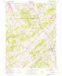
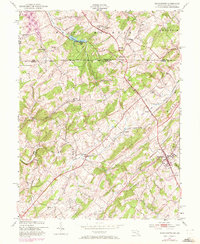
1953 Map of Manchester
USGS Topo · Published 1976About this map
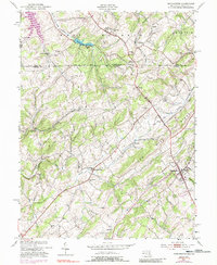
The Mason and Dixon Line serves as the focal point of this 1953 survey, dividing the landscape between York County, Pennsylvania, and Carroll County, Maryland. This borderland region is characterized by a network of rural settlements and small community hubs like Manchester, West Manheim, and Melrose. The map documents a deeply established cultural landscape where the local social fabric is anchored by landmarks such as St Bartholomew Ch, Jerusalem Ch, and the Miller Memorial Cem.
Find a feature on this map
43 named features on this map. Tap any name to fly to it.
Don’t see what you’re looking for? This feature index may not catch every label — zoom into the map to look around manually.
Map Details
Editions of this 1953 Manchester Map
6 editions found
Other maps of this area

1905 · Westminster
USGS Topo · 1:62,500

1908 · Gettysburg
USGS Topo · 1:62,500

1911 · Taneytown
USGS Topo · 1:62,500

1920 · Hanover
USGS Topo · 1:62,500

1922 · Hanover
USGS Topo · 1:62,500

1942 · Gettysburg
USGS Topo · 1:125,000

1944 · Manchester
USGS Topo · 1:31,680

1944 · Hampstead
USGS Topo · 1:31,680

1944 · New Windsor
USGS Topo · 1:31,680

1944 · Mc Sherrystown
USGS Topo · 1:31,680