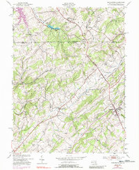
1953 Map of Manchester
USGS Topo · Published 1988About this map
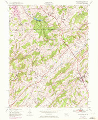
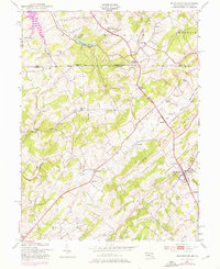
Mason and Dixon Line defines the northern boundary of this Carroll County landscape, marking the historic separation between Pennsylvania and Maryland. The terrain is characterized by the prominent Dug Hill Ridge, which dictates the flow of local waterways like Deep Run and the South Branch Gunpowder Falls. Settlement patterns here reflect a late-20th-century update to an earlier agricultural and industrial core, where small communities such as Manchester and Melrose serve as local hubs. Genealogists and local historians will find significant value in the documentation of numerous rural institutions, including St Bartholomew Ch, Jerusalem Ch, and the Miller Memorial Cem. The map also captures infrastructure and education from a prior era, such as Maces Sch and the Sheppard-Meyers Reservoir, illustrating how the rural topography around Bachman Mills has evolved over decades of change.
Find a feature on this map
36 named features on this map. Tap any name to fly to it.
Don’t see what you’re looking for? This feature index may not catch every label — zoom into the map to look around manually.
Map Details
Editions of this 1953 Manchester Map
6 editions found
Other maps of this area

1905 · Westminster
USGS Topo · 1:62,500

1908 · Gettysburg
USGS Topo · 1:62,500

1911 · Taneytown
USGS Topo · 1:62,500

1920 · Hanover
USGS Topo · 1:62,500

1922 · Hanover
USGS Topo · 1:62,500

1942 · Gettysburg
USGS Topo · 1:125,000

1944 · Manchester
USGS Topo · 1:31,680

1944 · Hampstead
USGS Topo · 1:31,680

1944 · New Windsor
USGS Topo · 1:31,680

1944 · Mc Sherrystown
USGS Topo · 1:31,680