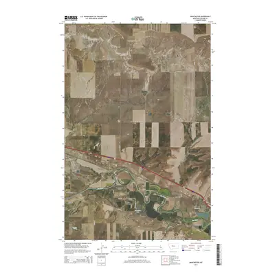
2014 Map of Manchester
USGS Topo · Published 2014About this map
Manchester and Sun Prairie anchor this section of the Great Plains, where the winding course of the Sun River has carved a distinct valley below the Sun River Bench. The landscape is defined by its water management and agricultural grid, evidenced by the Manchester Lateral irrigation channel and the presence of Horseshoe Lake. The residential layout near Manchester features streets named for presidents, including Adams Blvd and Eisenhower Ave, reflecting a planned suburban character within the wider rural expanse. To the south, Newman Spring and Sunset Memorial Gardens provide local landmarks, while the transportation network relies on corridors like Sun River Rd and Vaughn Rd to connect these small Montana communities.
Find a feature on this map
37 named features on this map. Tap any name to fly to it.
Don’t see what you’re looking for? This feature index may not catch every label — zoom into the map to look around manually.
Map Details
Editions of this 2014 Manchester Map
This is the sole edition of this map. No revisions or reprints were ever made.
Other maps of this area

1886 · Great Falls
USGS Topo · 1:250,000

1949 · Cascade
USGS Topo · 1:62,500

1949 · Great Falls
USGS Topo · 1:62,500

1949 · Vaughn
USGS Topo · 1:62,500

1951 · Great Falls
USGS Topo · 1:62,500

1951 · Cascade
USGS Topo · 1:62,500

1952 · Vaughn
USGS Topo · 1:62,500

1954 · Great Falls
USGS Topo · 1:250,000

1955 · Gore Hill
USGS Topo · 1:62,500

1957 · Great Falls
USGS Topo · 1:250,000