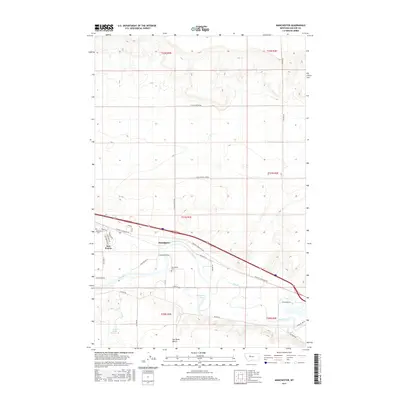
2017 Map of Manchester
USGS Topo · Published 2017About this map
Manchester and the residential layout of Sun Prairie define the human geography of this Cascade County landscape along the winding course of the Sun River. The settlement pattern shows a distinct transition from the grid-like streets of Sun Prairie, featuring names like Adams Blvd and Eisenhower Ave, to the more expansive agricultural and irrigation infrastructure to the east. The S Manchester Lateral indicates the importance of water management in this region, supporting the farms and ranches surrounding the Sun River Bench. Local heritage is anchored by the Manchester Cem, while the natural hydrologic features of the area are represented by Horseshoe Lake and Newman Spring. Transportation is dominated by the modern corridor of Vaughn S Frontage Rd, which parallels the main thoroughfare through the river valley.
Find a feature on this map
36 named features on this map. Tap any name to fly to it.
Don’t see what you’re looking for? This feature index may not catch every label — zoom into the map to look around manually.
Map Details
Editions of this 2017 Manchester Map
This is the sole edition of this map. No revisions or reprints were ever made.
Other maps of this area

1886 · Great Falls
USGS Topo · 1:250,000

1949 · Cascade
USGS Topo · 1:62,500

1949 · Great Falls
USGS Topo · 1:62,500

1949 · Vaughn
USGS Topo · 1:62,500

1951 · Great Falls
USGS Topo · 1:62,500

1951 · Cascade
USGS Topo · 1:62,500

1952 · Vaughn
USGS Topo · 1:62,500

1954 · Great Falls
USGS Topo · 1:250,000

1955 · Gore Hill
USGS Topo · 1:62,500

1957 · Great Falls
USGS Topo · 1:250,000