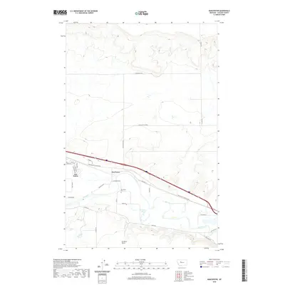
2020 Map of Manchester
USGS Topo · Published 2020About this map
Manchester and the adjacent community of Sun Prairie sit along the winding course of the Sun River in this modern topographic survey of Cascade County. The landscape is defined by the sharp contrast between the river valley and the elevated Sun River Bench to the south. Local transit and irrigation are central to the area's layout, with features like the S Manchester Lateral and a network of rural roads including Mciver Rd and Sun Prairie Rd carving through the plains. Genealogists will find the Manchester Cem centrally located near the river, while natural landmarks such as Horseshoe Lake and Newman Spring punctuate the drier stretches of the bench. The map provides a clear record of the residential expansion in Sun Prairie, where streets like Adams Blvd and Eisenhower Ave mark a shift from traditional agricultural plots to suburban-style development.
Find a feature on this map
36 named features on this map. Tap any name to fly to it.
Don’t see what you’re looking for? This feature index may not catch every label — zoom into the map to look around manually.
Map Details
Editions of this 2020 Manchester Map
This is the sole edition of this map. No revisions or reprints were ever made.
Other maps of this area

1886 · Great Falls
USGS Topo · 1:250,000

1949 · Cascade
USGS Topo · 1:62,500

1949 · Great Falls
USGS Topo · 1:62,500

1949 · Vaughn
USGS Topo · 1:62,500

1951 · Great Falls
USGS Topo · 1:62,500

1951 · Cascade
USGS Topo · 1:62,500

1952 · Vaughn
USGS Topo · 1:62,500

1954 · Great Falls
USGS Topo · 1:250,000

1955 · Gore Hill
USGS Topo · 1:62,500

1957 · Great Falls
USGS Topo · 1:250,000