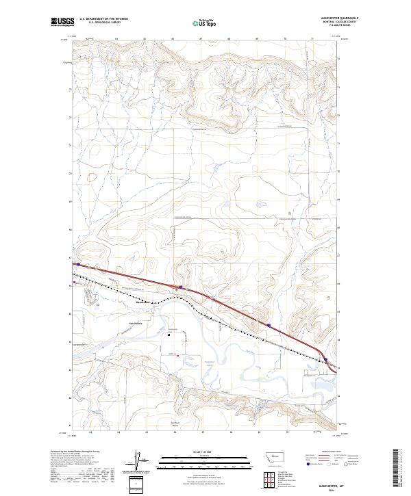
2024 Map of Manchester
USGS Topo · Published 2024About this map
The Sun River meanders through the heart of this landscape, shaping the valley floor near the settlement of Manchester. Elevated above the river valley, the Sun River Bench and numerous coulees define the surrounding topography, illustrating the transition from the fertile riparian zone to the higher arid plains. The town of Sun Prairie stands as a primary residential center, while the smaller Manchester node provides a look at the historical layout of this Cascade County region. Genealogy researchers will find the Manchester Cem located just east of the river bend, a key landmark for local family history. The infrastructure is characterized by a grid of rural routes such as Mciver Rd and Stuckey Rd, alongside irrigation features like the S Manchester Lateral that support the area's agricultural character.
Find a feature on this map
36 named features on this map. Tap any name to fly to it.
Don’t see what you’re looking for? This feature index may not catch every label — zoom into the map to look around manually.
Map Details
Editions of this 2024 Manchester Map
This is the sole edition of this map. No revisions or reprints were ever made.
Other maps of this area

1886 · Great Falls
USGS Topo · 1:250,000

1949 · Cascade
USGS Topo · 1:62,500

1949 · Great Falls
USGS Topo · 1:62,500

1949 · Vaughn
USGS Topo · 1:62,500

1951 · Great Falls
USGS Topo · 1:62,500

1951 · Cascade
USGS Topo · 1:62,500

1952 · Vaughn
USGS Topo · 1:62,500

1954 · Great Falls
USGS Topo · 1:250,000

1955 · Gore Hill
USGS Topo · 1:62,500

1957 · Great Falls
USGS Topo · 1:250,000