
1952 Map of Manchester
USGS Topo · Published 1954About this map
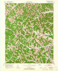
Manchester serves as the focal point of this 1950s survey, positioned where the Louisville and Nashville railroad meets the winding waters of Goose Creek. The landscape is a dense network of hollows and ridges, characterized by numerous small rural institutions that supported local families. Schools such as Greenbriar Sch, Brown Mission Sch, and Slick Rock Sch are scattered throughout the terrain, alongside historic congregations at Potters Chapel and Pleasant Run Ch.
Find a feature on this map
60 named features on this map. Tap any name to fly to it.
Don’t see what you’re looking for? This feature index may not catch every label — zoom into the map to look around manually.
Map Details
Editions of this 1952 Manchester Map
2 editions found
Other maps of this area

1891 · Manchester
USGS Topo · 1:125,000

1952 · Portersburg
USGS Topo · 1:24,000

1952 · Hima
USGS Topo · 1:24,000

1952 · Blackwater
USGS Topo · 1:24,000

1953 · Oneida
USGS Topo · 1:24,000

1953 · Tyner
USGS Topo · 1:24,000

1954 · Barcreek
USGS Topo · 1:24,000

1954 · Maulden
USGS Topo · 1:24,000
1954 · Ogle
USGS Topo · 1:24,000

1957 · Jenkins
USGS Topo · 1:250,000