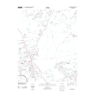
2013 Map of Manchester
USGS Topo · Published 2013About this map
Simmons Army Airfield dominates the southern landscape of this 2013 survey, reflecting the deep military heritage of the Fayetteville area. The residential layout is notably influenced by mid-century military history, featuring a dense cluster of neighborhoods named after significant World War II and global theaters, including Bastogne Gables, Normandy Heights, Corregidor, Bougainville, Casablanca, Bataan, and Anzio Acres. These settlements sit just south of Manchester and the Little River, where the suburban expansion of Woodbridge and Eureka Springs meets the established military infrastructure.
Find a feature on this map
319 named features on this map. Tap any name to fly to it.
Don’t see what you’re looking for? This feature index may not catch every label — zoom into the map to look around manually.
Map Details
Editions of this 2013 Manchester Map
This is the sole edition of this map. No revisions or reprints were ever made.
Other maps of this area

1948 · Fayetteville
USGS Topo · 1:62,500

1948 · Clifdale
USGS Topo · 1:62,500

1948 · Slocomb
USGS Topo · 1:24,000

1948 · Clifdale
USGS Topo · 1:24,000

1949 · Vander
USGS Topo · 1:24,000

1950 · Clifdale
USGS Topo · 1:24,000

1950 · Fayetteville
USGS Topo · 1:24,000

1950 · Manchester
USGS Topo · 1:24,000

1950 · Slocomb
USGS Topo · 1:24,000

1951 · Clifdale
USGS Topo · 1:62,500