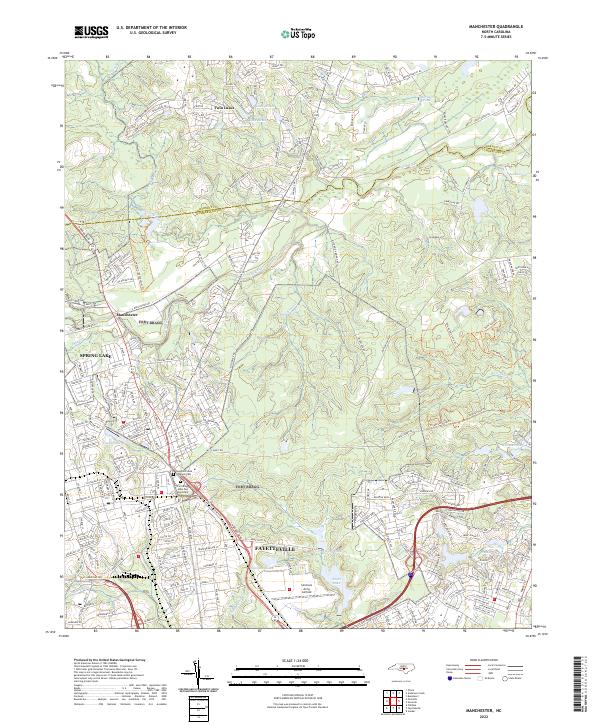
2022 Map of Manchester
USGS Topo · Published 2022About this map
The Little River winds through this landscape on the northern edge of Fayetteville, North Carolina, serving as a natural boundary between Cumberland and Harnett counties. This area is defined by its deep military history and infrastructure, containing the expansive grounds of Simmons Army Airfield and several installations that reflect the region's service-oriented character. The map details the transition from the concentrated residential streets of Spring Lake to the more dispersed settlements around Manchester.
Find a feature on this map
244 named features on this map. Tap any name to fly to it.
Don’t see what you’re looking for? This feature index may not catch every label — zoom into the map to look around manually.
Map Details
Editions of this 2022 Manchester Map
This is the sole edition of this map. No revisions or reprints were ever made.
Other maps of this area

1948 · Fayetteville
USGS Topo · 1:62,500

1948 · Clifdale
USGS Topo · 1:62,500

1948 · Slocomb
USGS Topo · 1:24,000

1948 · Clifdale
USGS Topo · 1:24,000

1949 · Vander
USGS Topo · 1:24,000

1950 · Clifdale
USGS Topo · 1:24,000

1950 · Fayetteville
USGS Topo · 1:24,000

1950 · Manchester
USGS Topo · 1:24,000

1950 · Slocomb
USGS Topo · 1:24,000

1951 · Clifdale
USGS Topo · 1:62,500