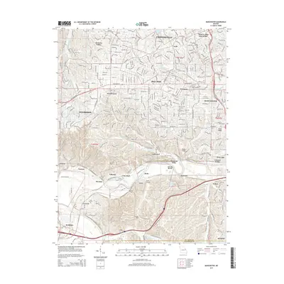
2015 Map of Manchester
USGS Topo · Published 2015About this map
The Meramec River carves a winding path through the southern half of this suburban Missouri landscape, separating the dense residential grids of Ballwin and Manchester from the protected wooded hills of the Beaumont Reservation. This 2015 study captures a region of significant elevation change, where established settlements like Ellisville and Winchester sit on high ground above the river valley's complex topography. Local history is anchored by several burial sites, including the Saint Johns Cemetery and the Peterson Cemetery. The southern section reveals a more secluded character, defined by Tyson Hollow and Mincke Hollow, alongside an extensive network of recreational paths such as the Chubb Trail and the Al Foster Trail. These trails often follow the river's edge, connecting the small riverfront communities of Sherman and Jedburgh to the larger parklands.
Find a feature on this map
61 named features on this map. Tap any name to fly to it.
Don’t see what you’re looking for? This feature index may not catch every label — zoom into the map to look around manually.
Map Details
Editions of this 2015 Manchester Map
This is the sole edition of this map. No revisions or reprints were ever made.
Other maps of this area

1901 · De Soto
USGS Topo · 1:125,000

1903 · O'Fallon
USGS Topo · 1:125,000

1912 · Kimmswick
USGS Topo · 1:62,500

1916 · Kimmswick
USGS Topo · 1:62,500

1931 · Manchester SE
USGS Topo · 1:24,000

1931 · Pacific NE
USGS Topo · 1:24,000

1932 · Manchester NE
USGS Topo · 1:24,000

1933 · Creve Coeur
USGS Topo · 1:24,000

1933 · Kirkwood
USGS Topo · 1:24,000

1937 · Pacific
USGS Topo · 1:24,000