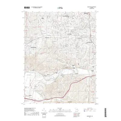
2017 Map of Manchester
USGS Topo · Published 2017About this map
Ballwin and Ellisville serve as central hubs in this modern-era documentation of West St. Louis County. The landscape is defined by the winding course of the Meramec River, which carves through the southern portion of the quadrangle, creating a distinct boundary between developed suburban areas and the preserved natural spaces of Lone Elk Co Park and the Rock Hollow terrain. This river corridor has historically influenced the placement of early settlements like Sherman and Jedburgh, as well as the recreational areas of Castlewood and Lincoln Beach.
Find a feature on this map
67 named features on this map. Tap any name to fly to it.
Don’t see what you’re looking for? This feature index may not catch every label — zoom into the map to look around manually.
Map Details
Editions of this 2017 Manchester Map
This is the sole edition of this map. No revisions or reprints were ever made.
Other maps of this area

1901 · De Soto
USGS Topo · 1:125,000

1903 · O'Fallon
USGS Topo · 1:125,000

1912 · Kimmswick
USGS Topo · 1:62,500

1916 · Kimmswick
USGS Topo · 1:62,500

1931 · Manchester SE
USGS Topo · 1:24,000

1931 · Pacific NE
USGS Topo · 1:24,000

1932 · Manchester NE
USGS Topo · 1:24,000

1933 · Creve Coeur
USGS Topo · 1:24,000

1933 · Kirkwood
USGS Topo · 1:24,000

1937 · Pacific
USGS Topo · 1:24,000