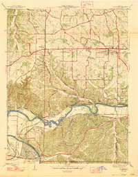
1947 Map of Manchester
USGS Topo · Published 1947About this map
The Meramec River winds through the heart of the Bonhomme region, defining the transition between the rolling uplands and the steep bluffs of the river valley. In this mid-century period, the landscape is a mix of expanding roadside communities like Manchester and Ellisville along the historic Manchester Road, and small riverside settlements that served as recreational and agricultural hubs. The grid of Times Beach is visible in the southwest, while more isolated post offices and stations such as Sherman P.O. and Jedburg line the Missouri Pacific and St Louis San Francisco rail lines.
Find a feature on this map
49 named features on this map. Tap any name to fly to it.
Don’t see what you’re looking for? This feature index may not catch every label — zoom into the map to look around manually.
Map Details
Editions of this 1947 Manchester Map
2 editions found
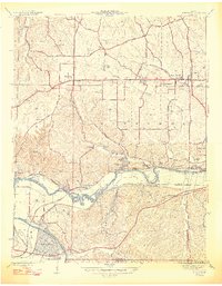
Other maps of this area

1901 · De Soto
USGS Topo · 1:125,000

1903 · O'Fallon
USGS Topo · 1:125,000
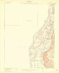
1912 · Kimmswick
USGS Topo · 1:62,500
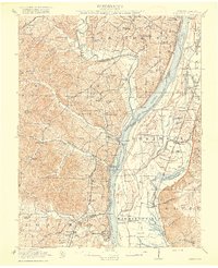
1916 · Kimmswick
USGS Topo · 1:62,500
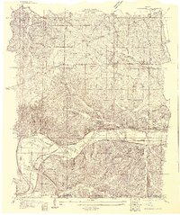
1931 · Manchester SE
USGS Topo · 1:24,000
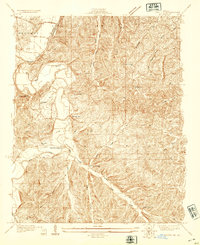
1931 · Pacific NE
USGS Topo · 1:24,000
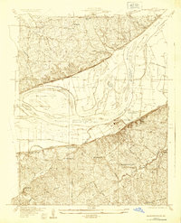
1932 · Manchester NE
USGS Topo · 1:24,000
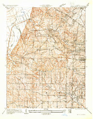
1933 · Creve Coeur
USGS Topo · 1:24,000
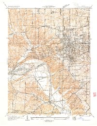
1933 · Kirkwood
USGS Topo · 1:24,000
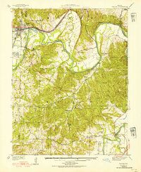
1937 · Pacific
USGS Topo · 1:24,000