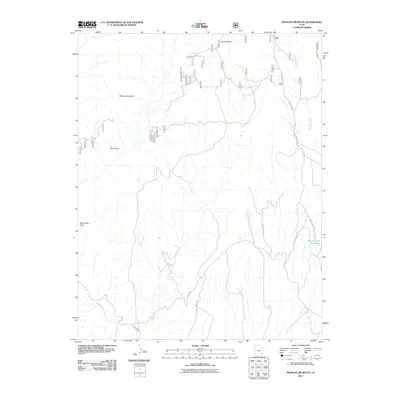
2011 Map of Mancos Jim Butte
USGS Topo · Published 2011About this map
Mancos Jim Butte stands as a prominent landmark in this high-elevation corner of San Juan County, part of a complex landscape defined by dramatic drainage systems and geologic formations. The map details a transition from the plateau heights down into the carved depths of West Big Cyn and East Big Cyn. Along the eastern edge, the critical water management of the Blanding City Reservoirs is visible, fed by the southward flow of Johnson Creek. The western portion of the quadrangle is marked by distinct topographical features such as the Bee Hives and Black Steer Knoll, while the Brushy Basin Rim provides a sharp break in the terrain. This 2011 survey captures the network of forest and access roads, including N Blue Mountain Rd, which navigate the mesas and canyons before the terrain descends toward Cottonwood Creek in the southwest.
Find a feature on this map
14 named features on this map. Tap any name to fly to it.
Don’t see what you’re looking for? This feature index may not catch every label — zoom into the map to look around manually.
Map Details
Editions of this 2011 Mancos Jim Butte Map
This is the sole edition of this map. No revisions or reprints were ever made.
Other maps of this area

1886 · Abajo
USGS Topo · 1:250,000

1892 · Abajo
USGS Topo · 1:250,000

1893 · Abajo
USGS Topo · 1:250,000

1935 · Elk Ridge
USGS Topo · 1:96,000

1940 · Elk Ridge
USGS Topo · 1:125,000

1954 · Elk Ridge 4 NW
USGS Topo · 1:24,000

1954 · Elk Ridge 1 SW
USGS Topo · 1:24,000

1954 · Elk Ridge 1 SE
USGS Topo · 1:24,000
1954 · Mt Linnaeus
USGS Topo · 1:62,500

1956 · Cortez
USGS Topo · 1:250,000