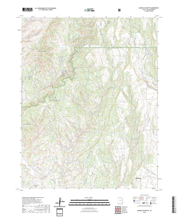
2023 Map of Mancos Jim Butte
USGS Topo · Published 2023About this map
Mancos Jim Butte stands as a prominent landmark within the Manti La Sal National Forest, overlooking a landscape defined by deep drainages and geological transitions. This high-desert terrain is marked by the Brushy Basin Rim and the expansive Brushy Basin, where the natural topography dictates the route of historic access ways like Forest Rd 092. The map details the outskirts of Blanding, illustrating how the settlement interacts with the surrounding canyon systems.
Find a feature on this map
18 named features on this map. Tap any name to fly to it.
Don’t see what you’re looking for? This feature index may not catch every label — zoom into the map to look around manually.
Map Details
Editions of this 2023 Mancos Jim Butte Map
This is the sole edition of this map. No revisions or reprints were ever made.
Other maps of this area

1886 · Abajo
USGS Topo · 1:250,000

1892 · Abajo
USGS Topo · 1:250,000

1893 · Abajo
USGS Topo · 1:250,000

1935 · Elk Ridge
USGS Topo · 1:96,000

1940 · Elk Ridge
USGS Topo · 1:125,000

1954 · Elk Ridge 4 NW
USGS Topo · 1:24,000

1954 · Elk Ridge 1 SW
USGS Topo · 1:24,000

1954 · Elk Ridge 1 SE
USGS Topo · 1:24,000
1954 · Mt Linnaeus
USGS Topo · 1:62,500

1956 · Cortez
USGS Topo · 1:250,000