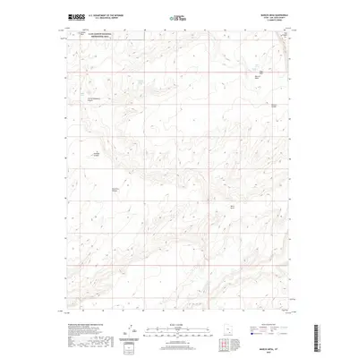
2020 Map of Mancos Mesa
USGS Topo · Published 2020About this map
Glen Canyon National Recreation Area occupies the northwestern corner of this map, transitioning into a landscape of deep canyons and massive flat-topped formations in San Juan County. This area is dominated by the vast Mancos Mesa, a dominant geographic feature that rises above the surrounding drainages. The map reveals an intricate network of erosion, with major cuts like Knowles Canyon, Forgotten Canyon, and Johnny Coldwater Canyon carving through the stone.
Find a feature on this map
17 named features on this map. Tap any name to fly to it.
Don’t see what you’re looking for? This feature index may not catch every label — zoom into the map to look around manually.
Map Details
Editions of this 2020 Mancos Mesa Map
This is the sole edition of this map. No revisions or reprints were ever made.
Other maps of this area

1886 · Henry Mountains
USGS Topo · 1:250,000

1892 · Henry Mountains
USGS Topo · 1:250,000

1952 · Mancos Mesa
USGS Topo · 1:62,500

1953 · Mt Pennell 4 NE
USGS Topo · 1:24,000

1953 · Lake Canyon
USGS Topo · 1:62,500

1953 · Mt. Ellsworth
USGS Topo · 1:62,500

1954 · White Canyon 3 SE
USGS Topo · 1:24,000

1954 · White Canyon 3 NW
USGS Topo · 1:24,000

1954 · White Canyon 3 NE
USGS Topo · 1:24,000

1954 · White Canyon 3 SW
USGS Topo · 1:24,000