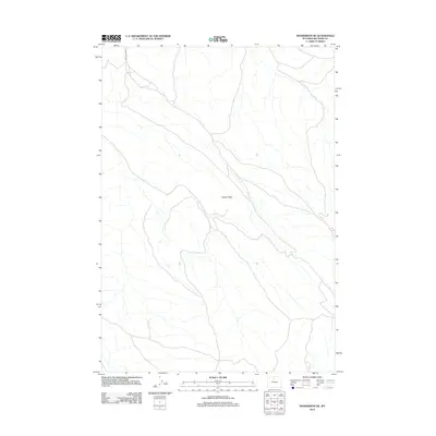
2012 Map of Manderson NE
USGS Topo · Published 2012About this map
Potato Ridge stands as the primary topographical landmark in this sparsely populated stretch of Big Horn County. This 2012 survey, produced by the U.S. Geological Survey, reflects the arid and open nature of the Wyoming basin north of Manderson. The landscape is defined by its drainage patterns and limited infrastructure, with Red Gulch Rd providing one of the few managed transportation routes through the terrain. The absence of named settlements or civic structures underscores the remote character of this region, which is primarily shaped by natural erosion and the underlying geologic formations typical of the Big Horn Basin.
Find a feature on this map
2 named features on this map. Tap any name to fly to it.
Don’t see what you’re looking for? This feature index may not catch every label — zoom into the map to look around manually.
Map Details
Editions of this 2012 Manderson NE Map
This is the sole edition of this map. No revisions or reprints were ever made.
Other maps of this area

1898 · Bald Mountain
USGS Topo · 1:125,000

1901 · Bald Mountain
USGS Topo · 1:125,000

1955 · Sheridan
USGS Topo · 1:250,000

1958 · Sheridan
USGS Topo · 1:250,000

1960 · White Sulphur Spring
USGS Topo · 1:24,000

1960 · Black Mountain
USGS Topo · 1:24,000

1960 · Manderson
USGS Topo · 1:24,000

1960 · Flitner Reservoir
USGS Topo · 1:24,000

1960 · Manderson NE
USGS Topo · 1:24,000

1960 · Devils Kitchen
USGS Topo · 1:24,000