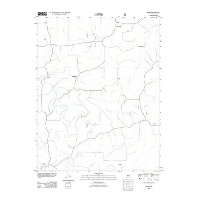
2012 Map of Manes
USGS Topo · Published 2012About this map
Lynchburg and Manes anchor the northern and southern reaches of this Ozark landscape, reflecting a pattern of scattered rural hamlets connected by winding state highways and forest roads. The terrain is defined by the drainage of Beaver Creek and its many tributaries, including Flannery Branch and Shelby Branch, which carve through the land to create notable features like Wolf Hollow and Moore Hollow. A significant local landmark, the Sunnyside Post Office, sits near the center of the quadrangle, serving as a focal point for the surrounding community.
Find a feature on this map
33 named features on this map. Tap any name to fly to it.
Don’t see what you’re looking for? This feature index may not catch every label — zoom into the map to look around manually.
Map Details
Editions of this 2012 Manes Map
This is the sole edition of this map. No revisions or reprints were ever made.
Other maps of this area

1931 · Manes
USGS Topo · 1:48,000

1941 · Big Piney
USGS Topo · 1:62,500

1941 · Manes
USGS Topo · 1:62,500

1941 · Bado
USGS Topo · 1:62,500

1943 · Big Piney
USGS Topo · 1:62,500

1943 · Manes
USGS Topo · 1:62,500

1943 · Drynob
USGS Topo · 1:62,500

1943 · Bado
USGS Topo · 1:62,500

1954 · Springfield
USGS Topo · 1:250,000

1954 · Drynob
USGS Topo · 1:62,500