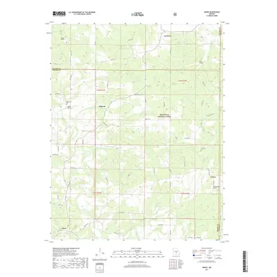
2017 Map of Manes
USGS Topo · Published 2017About this map
Lynchburg and Mingsville anchor this section of the Ozarks where the Mark Twain National Forest dominates the hilly terrain of the Gasconade River watershed. The landscape is characterized by deep drainages like Wolf Hollow and Wilcox Hollow, which feed into established waterways such as Beaver Cr and Doolittle Cr. This 2017 survey reveals the persistent rural footprint of the Laclede, Wright, and Texas county borders, where small unincorporated communities like Embree and Manes still serve as local landmarks. Cultural features such as Blankenship Cem and the evocatively named Schoolhouse Hollow provide critical reference points for genealogists tracing family histories in these remote wooded uplands. The road network, including State Hwy KK and Bear Run Rd, follows the winding topography of the ridges, illustrating how the natural environment continues to dictate the local transportation patterns.
Find a feature on this map
50 named features on this map. Tap any name to fly to it.
Don’t see what you’re looking for? This feature index may not catch every label — zoom into the map to look around manually.
Map Details
Editions of this 2017 Manes Map
This is the sole edition of this map. No revisions or reprints were ever made.
Other maps of this area

1931 · Manes
USGS Topo · 1:48,000

1941 · Big Piney
USGS Topo · 1:62,500

1941 · Manes
USGS Topo · 1:62,500

1941 · Bado
USGS Topo · 1:62,500

1943 · Big Piney
USGS Topo · 1:62,500

1943 · Manes
USGS Topo · 1:62,500

1943 · Drynob
USGS Topo · 1:62,500

1943 · Bado
USGS Topo · 1:62,500

1954 · Springfield
USGS Topo · 1:250,000

1954 · Drynob
USGS Topo · 1:62,500