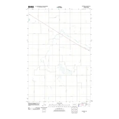
2011 Map of Manfred
USGS Topo · Published 2011About this map
The James River snakes diagonally across this North Dakota landscape, carving a subtle path through the agricultural grid of Wells County. In this part of the state, the land is meticulously partitioned by a network of rural roads including 23rd St NE and 34th Ave NE, which reflect the long-standing rectangular survey system. The topography is dotted with prairie potholes and small basins, most notably Egg Lake in the northwest corner. These water features are characteristic of the glaciated plains, providing essential drainage and habitat within a region dominated by large-scale farming. Transportation across the territory is anchored by County Rd-2 and County Hwy-4216, which connect the scattered farmsteads and facilitate the movement of goods in a quiet corner of the Great Plains.
Find a feature on this map
20 named features on this map. Tap any name to fly to it.
Don’t see what you’re looking for? This feature index may not catch every label — zoom into the map to look around manually.
Map Details
Editions of this 2011 Manfred Map
This is the sole edition of this map. No revisions or reprints were ever made.
Other maps of this area

1941 · Selz
USGS Topo · 1:62,500

1943 · Maddock
USGS Topo · 1:62,500

1945 · Maddock
USGS Topo · 1:62,500

1945 · Manfred
USGS Topo · 1:62,500

1948 · Fessenden
USGS Topo · 1:62,500

1948 · Manfred
USGS Topo · 1:62,500

1949 · Fessenden SW
USGS Topo · 1:24,000

1949 · Fessenden West
USGS Topo · 1:24,000

1949 · Manfred SW
USGS Topo · 1:24,000

1950 · Manfred SE
USGS Topo · 1:24,000