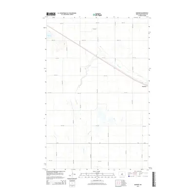
2014 Map of Manfred
USGS Topo · Published 2014About this map
Manfred sits at a focal point of North Dakota transportation in this survey, where the township is defined by the winding course of the James River. The river cuts diagonally across the landscape, flanked by a rigid grid of rural section roads like 35th Ave NE and 21st St NE. In the northwest corner, Egg Lake provides a distinct break in the prairie terrain. The map reflects a classic Great Plains settlement pattern, where small communities like Manfred developed along early transport corridors, supported by a network of county routes including Cr-52 and Cr-4. This record is essential for understanding the modern layout of Wells County, tracing how the river geography continues to influence the placement of regional infrastructure.
Find a feature on this map
20 named features on this map. Tap any name to fly to it.
Don’t see what you’re looking for? This feature index may not catch every label — zoom into the map to look around manually.
Map Details
Editions of this 2014 Manfred Map
This is the sole edition of this map. No revisions or reprints were ever made.
Other maps of this area

1941 · Selz
USGS Topo · 1:62,500

1943 · Maddock
USGS Topo · 1:62,500

1945 · Maddock
USGS Topo · 1:62,500

1945 · Manfred
USGS Topo · 1:62,500

1948 · Fessenden
USGS Topo · 1:62,500

1948 · Manfred
USGS Topo · 1:62,500

1949 · Fessenden SW
USGS Topo · 1:24,000

1949 · Fessenden West
USGS Topo · 1:24,000

1949 · Manfred SW
USGS Topo · 1:24,000

1950 · Manfred SE
USGS Topo · 1:24,000