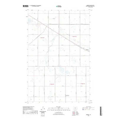
2020 Map of Manfred
USGS Topo · Published 2020About this map
The James River snakes through this portion of Wells County, carving a narrow path across a landscape defined by expansive wetlands and prairie section lines. The small community of Manfred sits at the intersection of Co Rd 2 and a rail corridor, serving as a primary point of settlement in this rural expanse. To the south, the Manfred Seventh - Day Adventist Cem provides a specific point of interest for genealogists and local historians, situated along 15th St NE.
Find a feature on this map
22 named features on this map. Tap any name to fly to it.
Don’t see what you’re looking for? This feature index may not catch every label — zoom into the map to look around manually.
Map Details
Editions of this 2020 Manfred Map
This is the sole edition of this map. No revisions or reprints were ever made.
Other maps of this area

1941 · Selz
USGS Topo · 1:62,500

1943 · Maddock
USGS Topo · 1:62,500

1945 · Maddock
USGS Topo · 1:62,500

1945 · Manfred
USGS Topo · 1:62,500

1948 · Fessenden
USGS Topo · 1:62,500

1948 · Manfred
USGS Topo · 1:62,500

1949 · Fessenden SW
USGS Topo · 1:24,000

1949 · Fessenden West
USGS Topo · 1:24,000

1949 · Manfred SW
USGS Topo · 1:24,000

1950 · Manfred SE
USGS Topo · 1:24,000