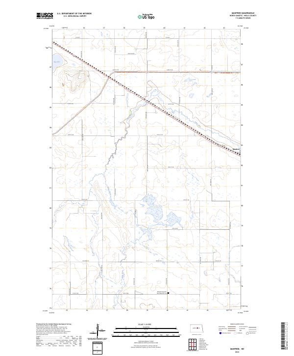
2024 Map of Manfred
USGS Topo · Published 2024About this map
The James River meanders through this portion of Wells County, shaping a landscape defined by prairie wetlands and small-scale agriculture. Near the river's path, the small settlement of Manfred sits along Co Rd 2, serving as a quiet focal point for the surrounding rural townships. The geography is characterized by numerous potholes and basins typical of the region, including Egg Lake and the protected lands of the Wells County Waterfowl Production Area, which provides critical habitat in this stretch of the Great Plains.
Find a feature on this map
31 named features on this map. Tap any name to fly to it.
Don’t see what you’re looking for? This feature index may not catch every label — zoom into the map to look around manually.
Map Details
Editions of this 2024 Manfred Map
This is the sole edition of this map. No revisions or reprints were ever made.
Other maps of this area

1941 · Selz
USGS Topo · 1:62,500

1943 · Maddock
USGS Topo · 1:62,500

1945 · Maddock
USGS Topo · 1:62,500

1945 · Manfred
USGS Topo · 1:62,500

1948 · Fessenden
USGS Topo · 1:62,500

1948 · Manfred
USGS Topo · 1:62,500

1949 · Fessenden SW
USGS Topo · 1:24,000

1949 · Fessenden West
USGS Topo · 1:24,000

1949 · Manfred SW
USGS Topo · 1:24,000

1950 · Manfred SE
USGS Topo · 1:24,000