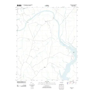
2010 Map of Mangum
USGS Topo · Published 2010About this map
The Pee Dee River carves a massive arc through this section of the Piedmont, defining the boundary between Richmond and Anson counties. Historic river crossings are marked by the sites of Old Smith Ferry and Old Stanback Ferry, recalling a time before modern bridge infrastructure when these ferries were vital links for the rural settlements of Mangum and Ingram. The topography is dominated by Ingram Mountain rising above the bottomlands where numerous tributaries like Turkey Top Creek and Savannah Creek drain toward the river.
Find a feature on this map
37 named features on this map. Tap any name to fly to it.
Don’t see what you’re looking for? This feature index may not catch every label — zoom into the map to look around manually.
Map Details
Editions of this 2010 Mangum Map
This is the sole edition of this map. No revisions or reprints were ever made.
Other maps of this area

1941 · Spartanburg
USGS Topo · 1:250,000

1942 · Troy
USGS Topo · 1:125,000

1942 · Rockingham
USGS Topo · 1:125,000

1953 · Florence
USGS Topo · 1:250,000

1953 · Raleigh
USGS Topo · 1:250,000

1953 · Spartanburg
USGS Topo · 1:250,000

1953 · Charlotte
USGS Topo · 1:250,000

1954 · Charlotte
USGS Topo · 1:250,000

1954 · Florence
USGS Topo · 1:250,000

1954 · Raleigh
USGS Topo · 1:250,000