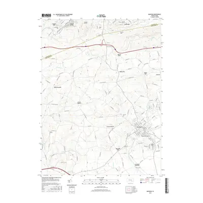
2016 Map of Manheim
USGS Topo · Published 2016About this map
The borough of Manheim anchors this part of Lancaster County, serving as a focal point for the surrounding agricultural and wooded landscape. The terrain is defined by the Furnace Hills to the north, where the border between Lebanon Co and Lancaster Co follows the high ground. Waterways such as Chiques Creek and its many tributaries, including Shearers Cr and Rife Run, carve through the valley, historically driving the placement of early settlements and mills.
Find a feature on this map
126 named features on this map. Tap any name to fly to it.
Don’t see what you’re looking for? This feature index may not catch every label — zoom into the map to look around manually.
Map Details
Editions of this 2016 Manheim Map
This is the sole edition of this map. No revisions or reprints were ever made.
Other maps of this area

1891 · Lebanon
USGS Topo · 1:62,500

1892 · Hummelstown
USGS Topo · 1:62,500

1893 · Lebanon
USGS Topo · 1:62,500

1899 · Lebanon
USGS Topo · 1:62,500

1902 · Lancaster
USGS Topo · 1:62,500

1904 · Lancaster
USGS Topo · 1:62,500

1908 · Middletown
USGS Topo · 1:62,500

1924 · Hummelstown
USGS Topo · 1:62,500
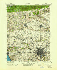
1943 · Lancaster
USGS Topo · 1:62,500
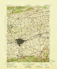
1943 · Lebanon
USGS Topo · 1:62,500
Featured Places
- Manheim, PA
- Mount Gretna, PA
- Mount Joy Township, PA
- East Hempfield Township, PA
- Elstonville, Penn Township