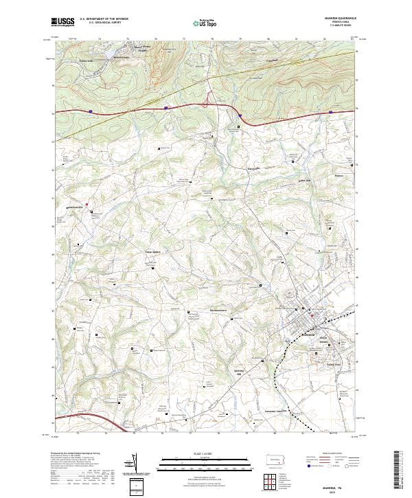
2023 Map of Manheim
USGS Topo · Published 2023About this map
Manheim stands as the primary hub in this portion of Lancaster County, where the street grid transitions into a landscape defined by small hamlets and extensive family graveyards. The area is marked by a high density of religious and burial sites, including the Abraham Gibbel Family Cem, Gantz Menonite Church, and Zion Lutheran Ch, reflecting the deep-seated denominational history of the region. Waterways like Chiques Creek and Little Chiques Creek wind through the terrain, historically influencing the placement of settlements such as Sporting Hill and Lancaster Junction.
Find a feature on this map
79 named features on this map. Tap any name to fly to it.
Don’t see what you’re looking for? This feature index may not catch every label — zoom into the map to look around manually.
Map Details
Editions of this 2023 Manheim Map
This is the sole edition of this map. No revisions or reprints were ever made.
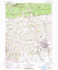
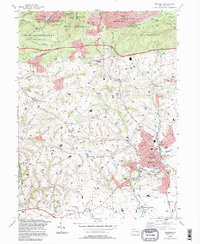
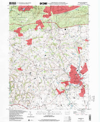
Historical Maps of West Cornwall Township Through Time
4 maps found
Featured Locations
- Mount Joy Township, PA
- Manheim, PA
- Mount Gretna, PA
- South Lebanon Township, PA
- South Londonderry Township, PA