
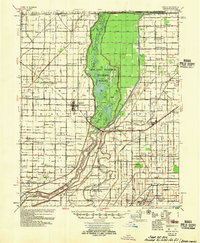
1956 Map of Manila
USGS Topo · Published 1956About this map
The Big Lake National Wildlife Refuge dominates this Mississippi County landscape, preserving a vast swampy basin centered on Big Lake and its internal islands like Gun Island and Hog Island. This mid-century survey reveals an intricate drainage system, where an extensive network of numbered ditches, such as Ditch No 11 and Ditch No 21, was engineered to reclaim the fertile bottomlands for agriculture. This transition from wetlands to industrial-scale farming is evidenced by the numerous named agricultural sites, including Simmons Plantation and Vegeth Plantation.
Find a feature on this map
131 named features on this map. Tap any name to fly to it.
Don’t see what you’re looking for? This feature index may not catch every label — zoom into the map to look around manually.
Map Details
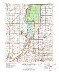
Editions of this 1956 Manila Map
3 editions found
Other maps of this area

1934 · Kennett
USGS Topo · 1:62,500

1939 · Blytheville
USGS Topo · 1:62,500

1939 · Evadale
USGS Topo · 1:62,500

1940 · Marmaduke
USGS Topo · 1:62,500

1940 · Kennett
USGS Topo · 1:62,500

1940 · Hayti
USGS Topo · 1:62,500

1941 · Leachville
USGS Topo · 1:62,500

1941 · Manila
USGS Topo · 1:62,500

1941 · Marked Tree
USGS Topo · 1:62,500

1953 · Memphis
USGS Topo · 1:250,000