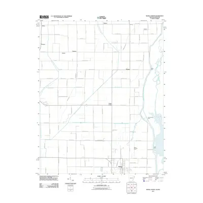
2011 Map of Manila North
USGS Topo · Published 2011About this map
Manila sits at the southern edge of this Mississippi County survey, serving as a hub for a landscape defined by an intensive network of drainage engineering. The terrain is crisscrossed by numerous channels such as Buffalo Ditch Number 1, Ditch Number 6, and Dredge Boat Creek Ditch Number 12, illustrating a massive historic effort to manage the alluvial wetlands of the Mississippi Flyway. Along the eastern border, the Little River and the Right Hand Chute Little River wind through the lowlands, creating natural points such as Cottonwood Point and Tims Point.
Find a feature on this map
61 named features on this map. Tap any name to fly to it.
Don’t see what you’re looking for? This feature index may not catch every label — zoom into the map to look around manually.
Map Details
Editions of this 2011 Manila North Map
This is the sole edition of this map. No revisions or reprints were ever made.
Other maps of this area

1934 · Kennett
USGS Topo · 1:62,500

1940 · Marmaduke
USGS Topo · 1:62,500

1940 · Kennett
USGS Topo · 1:62,500

1941 · Leachville
USGS Topo · 1:62,500

1941 · Manila
USGS Topo · 1:62,500

1953 · Memphis
USGS Topo · 1:250,000

1956 · Leachville
USGS Topo · 1:62,500

1956 · Kennett
USGS Topo · 1:62,500

1956 · Manila
USGS Topo · 1:62,500

1956 · Memphis
USGS Topo · 1:250,000