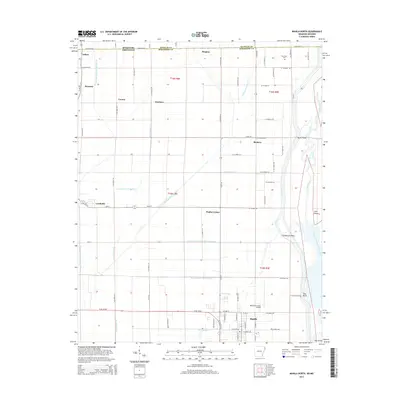
2014 Map of Manila North
USGS Topo · Published 2014About this map
Manila and Leachville anchor this survey of the northern Mississippi County landscape, where the Missouri Arkansas state line divides the low-lying agricultural plains. The region's geography is defined by a dense network of engineered waterways, including the Buffalo Ditch Number 1 and various numbered branches like Ditch Number 6 and Ditch Number 10. These drainage systems reveal the mid-century effort to manage the alluvial basin of the Little River and its Right Hand Chute Little River, creating arable land around settlements such as Poplar Corner and Buckeye. Notable landmarks include the Manila Municipal Airport and several points along the water like Cottonwood Point and Tims Point. Smaller locales like Arkmo and Boynton sit near the border, while the Box Elder Cem provides a specific point of interest for those tracing family roots in the northeast corner of the state.
Find a feature on this map
76 named features on this map. Tap any name to fly to it.
Don’t see what you’re looking for? This feature index may not catch every label — zoom into the map to look around manually.
Map Details
Editions of this 2014 Manila North Map
This is the sole edition of this map. No revisions or reprints were ever made.
Other maps of this area

1934 · Kennett
USGS Topo · 1:62,500

1940 · Marmaduke
USGS Topo · 1:62,500

1940 · Kennett
USGS Topo · 1:62,500

1941 · Leachville
USGS Topo · 1:62,500

1941 · Manila
USGS Topo · 1:62,500

1953 · Memphis
USGS Topo · 1:250,000

1956 · Leachville
USGS Topo · 1:62,500

1956 · Kennett
USGS Topo · 1:62,500

1956 · Manila
USGS Topo · 1:62,500

1956 · Memphis
USGS Topo · 1:250,000