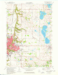
1974 Map of Mankato East
USGS Topo · Published 1976About this map
Mankato expansion characterizes this mid-1970s landscape, where the growing city is captured across both the Valley Campus and the Highland Campus. The urban grid transitions into the glacial lake plains of eastern Blue Earth County, featuring prominent water bodies like Wita Lake and Eagle Lake. Significant infrastructure supporting this growth is evident, including the Mankato Municipal Airport and a network of railroads such as the Chicago and North Western. This period represents a point in time when traditional industry and modern education coexisted, with a Quarry and Gravel Pit operating near established institutions like Bethany College. The southern boundary is defined by the winding course of the Le Sueur River and the small settlement of Tivoli, while the northern reaches touch Lake Washington.
Find a feature on this map
57 named features on this map. Tap any name to fly to it.
Don’t see what you’re looking for? This feature index may not catch every label — zoom into the map to look around manually.
Map Details
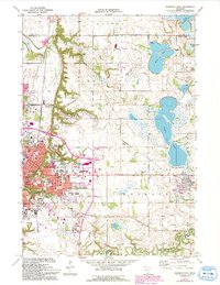
Editions of this 1974 Mankato East Map
2 editions found
Other maps of this area

1950 · Mankato East
USGS Topo · 1:62,500

1951 · Mankato East
USGS Topo · 1:62,500

1951 · Mankato West
USGS Topo · 1:62,500

1953 · Saint Paul
USGS Topo · 1:250,000

1953 · New Ulm
USGS Topo · 1:250,000

1957 · New Ulm
USGS Topo · 1:250,000

1958 · New Ulm
USGS Topo · 1:250,000

1959 · Saint Paul
USGS Topo · 1:250,000

1965 · Cleveland
USGS Topo · 1:24,000

1965 · North Star
USGS Topo · 1:24,000