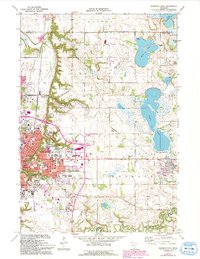
1974 Map of Mankato East
USGS Topo · Published 1993About this map
The expanding city of Mankato serves as the focal point of this 1974 survey, illustrating the rapid mid-century growth of its educational and transportation infrastructure. The map details the dual footprints of Mankato State College, showing the transition of the institution across the local landscape. Transportation networks are prominent, including the Chicago and North Western railroad corridor and the Mankato Municipal Airport. To the east, the community of Eagle Lake sits near its namesake water body, while the Le Sueur River carves through the southern terrain near the small settlement of Tivoli. This record preserves the location of numerous civic landmarks, from Immanuel Hospital to the sprawling grounds of Glenwood Cemetery and Calvary Cemetery, alongside industrial features like the Quarry near the Lime township border.
Find a feature on this map
49 named features on this map. Tap any name to fly to it.
Don’t see what you’re looking for? This feature index may not catch every label — zoom into the map to look around manually.
Map Details
Editions of this 1974 Mankato East Map
2 editions found
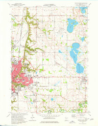
Other maps of this area

1950 · Mankato East
USGS Topo · 1:62,500

1951 · Mankato East
USGS Topo · 1:62,500

1951 · Mankato West
USGS Topo · 1:62,500

1953 · Saint Paul
USGS Topo · 1:250,000

1953 · New Ulm
USGS Topo · 1:250,000

1957 · New Ulm
USGS Topo · 1:250,000

1958 · New Ulm
USGS Topo · 1:250,000

1959 · Saint Paul
USGS Topo · 1:250,000

1965 · Cleveland
USGS Topo · 1:24,000

1965 · North Star
USGS Topo · 1:24,000