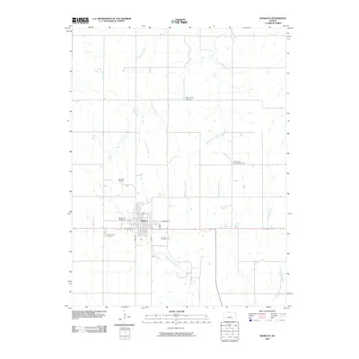
2009 Map of Mankato
USGS Topo · Published 2009About this map
Mankato sits as the central hub of this North Central Kansas landscape, where the street grid is clearly defined by thoroughfares like E Madison St and S East St. The town is surrounded by a network of drainage systems, including West Buffalo Creek and Middle Buffalo Creek, which carve through the Blue Hills Upland. For those researching local history or genealogy, the map identifies several key community sites such as Saint Teresa Cemetery, Mount Hope Cemetery, and the Lutheran Cemetery. Outside the main settlement, the East Union Community Hall and the Mankato Airport serve as primary landmarks. The geography is characterized by numerous seasonal and permanent watercourses like Troublesome Creek and Big Timber Creek that dictate the rural road patterns and land use in Jewell County.
Find a feature on this map
19 named features on this map. Tap any name to fly to it.
Don’t see what you’re looking for? This feature index may not catch every label — zoom into the map to look around manually.
Map Details
Editions of this 2009 Mankato Map
This is the sole edition of this map. No revisions or reprints were ever made.
Other maps of this area

1894 · Mankato
USGS Topo · 1:125,000

1955 · Beloit
USGS Topo · 1:250,000

1959 · Beloit
USGS Topo · 1:250,000

1968 · Burr Oak
USGS Topo · 1:24,000
1969 · Randall
USGS Topo · 1:24,000
1969 · Ionia
USGS Topo · 1:24,000

1969 · Mankato
USGS Topo · 1:24,000
1969 · Montrose
USGS Topo · 1:24,000
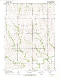
1969 · North Branch
USGS Topo · 1:24,000
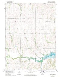
1969 · Mankato NW
USGS Topo · 1:24,000