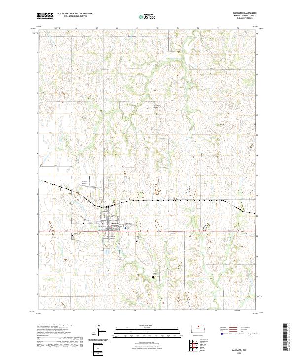
2022 Map of Mankato
USGS Topo · Published 2022About this map
Mankato serves as the central hub of this Kansas landscape, where the grid of the city meets the drainage systems of the Blue Hills Upland. The local history is anchored by the Jewell County Courthouse, situated at the intersection of E Main St and N Commercial St. The town is surrounded by a network of rural cemeteries that trace the heritage of early families, including Mount Hope Cem, Saint Theresa Cem, and the Jewell County Farm Cem to the southeast.
Find a feature on this map
37 named features on this map. Tap any name to fly to it.
Don’t see what you’re looking for? This feature index may not catch every label — zoom into the map to look around manually.
Map Details
Editions of this 2022 Mankato Map
This is the sole edition of this map. No revisions or reprints were ever made.
Other maps of this area

1894 · Mankato
USGS Topo · 1:125,000

1955 · Beloit
USGS Topo · 1:250,000

1959 · Beloit
USGS Topo · 1:250,000

1968 · Burr Oak
USGS Topo · 1:24,000
1969 · Randall
USGS Topo · 1:24,000
1969 · Ionia
USGS Topo · 1:24,000

1969 · Mankato
USGS Topo · 1:24,000
1969 · Montrose
USGS Topo · 1:24,000
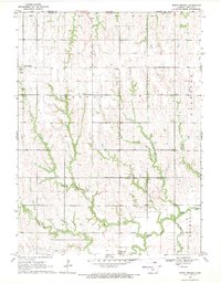
1969 · North Branch
USGS Topo · 1:24,000
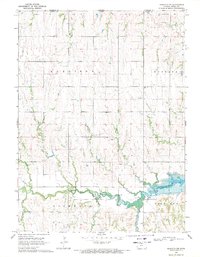
1969 · Mankato NW
USGS Topo · 1:24,000