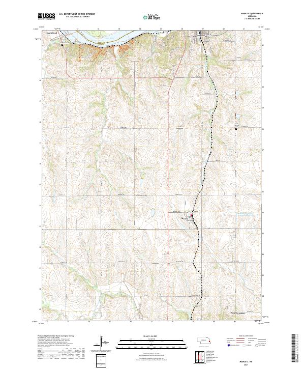
2021 Map of Manley
USGS Topo · Published 2021About this map
The Platte River carves the northern edge of this landscape at The Narrows, where the boundary between Sarpy and Cass counties follows the water’s course. This area of eastern Nebraska is characterized by a network of dendritic stream valleys, including Mill Cr and Decker Cr, which feed south toward Weeping Water Cr. The village of Manley sits at a crossroads in the center of the quadrangle, serving as a quiet focal point for a region defined by agricultural heritage and well-maintained section roads like Church Rd and Waverly Rd.
Find a feature on this map
52 named features on this map. Tap any name to fly to it.
Don’t see what you’re looking for? This feature index may not catch every label — zoom into the map to look around manually.
Map Details
Editions of this 2021 Manley Map
This is the sole edition of this map. No revisions or reprints were ever made.
Other maps of this area

1893 · Fremont
USGS Topo · 1:125,000

1896 · Fremont
USGS Topo · 1:125,000

1903 · Weeping Water
USGS Topo · 1:125,000

1929 · Weeping Water
USGS Topo · 1:125,000

1955 · Fremont
USGS Topo · 1:250,000

1955 · Lincoln
USGS Topo · 1:250,000

1956 · Cedar Creek
USGS Topo · 1:24,000

1956 · Springfield
USGS Topo · 1:24,000
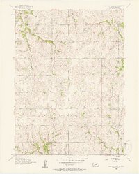
1956 · Weeping Water NE
USGS Topo · 1:24,000

1957 · Fremont
USGS Topo · 1:250,000