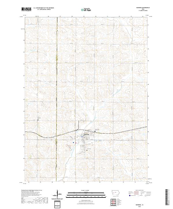
2022 Map of Manning
USGS Topo · Published 2022About this map
The W Nishnabotna River winds through this agricultural landscape, forming the central corridor for the settlement of Manning. Situated on the border of Crawford and Carroll Counties, the town is defined by its rectilinear street grid and proximity to the river's path. Local genealogy and history are anchored by several established burial grounds, including the Manning Cem south of the main town site and the Sacred Heart Catholic Cem to the north. Further afield, the Iowa Township Cem marks a more rural corner of the county near Elk Cr. The map details a sophisticated network of county roads such as Co HWY m64 and Co HWY e53 that weave between sections of productive Iowa farmland, while the Great Western Park Tr reflects the repurposed use of former infrastructure.
Find a feature on this map
52 named features on this map. Tap any name to fly to it.
Don’t see what you’re looking for? This feature index may not catch every label — zoom into the map to look around manually.
Map Details
Editions of this 2022 Manning Map
This is the sole edition of this map. No revisions or reprints were ever made.
Other maps of this area

1954 · Omaha
USGS Topo · 1:250,000

1954 · Fort Dodge
USGS Topo · 1:250,000

1957 · Omaha
USGS Topo · 1:250,000

1957 · Fort Dodge
USGS Topo · 1:250,000

1958 · Omaha
USGS Topo · 1:250,000

1958 · Fort Dodge
USGS Topo · 1:250,000

1971 · Templeton
USGS Topo · 1:24,000

1971 · Gray
USGS Topo · 1:24,000

1978 · Manilla
USGS Topo · 1:24,000

1978 · Irwin
USGS Topo · 1:24,000