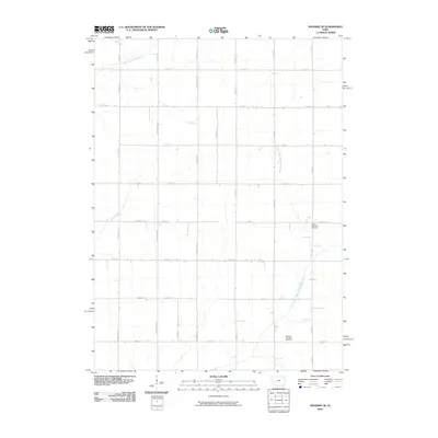
2010 Map of Manning SE
USGS Topo · Published 2010About this map
The West Nishnabotna River and the East Branch West Nishnabotna River define the agricultural drainage of this Carroll County landscape. This survey reveals a deeply established section-line road grid, including Street F16 and Street F24, which facilitates the movement of goods across the western Iowa plains. The rural character of the area is anchored by local landmarks such as Lincoln Township Cemetery and Douglas Township Cemetery, which serve as vital touchstones for genealogical research in this township. Several waterways, including Long Branch, cut across the rectangular survey lines, creating small pockets of non-conforming terrain in an otherwise strictly organized agricultural environment.
Find a feature on this map
33 named features on this map. Tap any name to fly to it.
Don’t see what you’re looking for? This feature index may not catch every label — zoom into the map to look around manually.
Map Details
Editions of this 2010 Manning SE Map
This is the sole edition of this map. No revisions or reprints were ever made.
Other maps of this area

1954 · Omaha
USGS Topo · 1:250,000

1957 · Omaha
USGS Topo · 1:250,000

1957 · Audubon
USGS Topo · 1:62,500

1958 · Omaha
USGS Topo · 1:250,000

1971 · Templeton
USGS Topo · 1:24,000

1971 · Gray
USGS Topo · 1:24,000

1978 · Manilla
USGS Topo · 1:24,000

1978 · Irwin
USGS Topo · 1:24,000

1978 · Kimballton
USGS Topo · 1:24,000

1978 · Manning
USGS Topo · 1:24,000