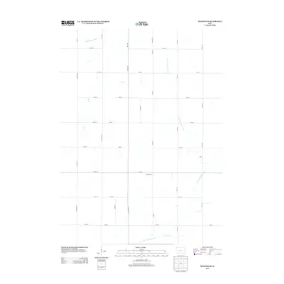
2013 Map of Manning SE
USGS Topo · Published 2013About this map
The W Nishnabotna River and its various tributaries define this section of Carroll County, Iowa. The landscape is structured by a rigorous grid of rural roads, including Wildwood Rd, Eagle Ave, and Street F24, reflecting the agricultural organization of the region in the early 21st century. While the terrain is largely dominated by open fields and drainage ways like Long Br and Lone Willow Cr, specific agricultural operations such as the Paup Hog Farm appear as distinct landmarks within the township sections. The E Br W Nishnabotna River meanders across the eastern half of the map, illustrating the natural drainage patterns that persist despite the highly engineered road and property network.
Find a feature on this map
35 named features on this map. Tap any name to fly to it.
Don’t see what you’re looking for? This feature index may not catch every label — zoom into the map to look around manually.
Map Details
Editions of this 2013 Manning SE Map
This is the sole edition of this map. No revisions or reprints were ever made.
Other maps of this area

1954 · Omaha
USGS Topo · 1:250,000

1957 · Omaha
USGS Topo · 1:250,000

1957 · Audubon
USGS Topo · 1:62,500

1958 · Omaha
USGS Topo · 1:250,000

1971 · Templeton
USGS Topo · 1:24,000

1971 · Gray
USGS Topo · 1:24,000

1978 · Manilla
USGS Topo · 1:24,000

1978 · Irwin
USGS Topo · 1:24,000

1978 · Kimballton
USGS Topo · 1:24,000

1978 · Manning
USGS Topo · 1:24,000