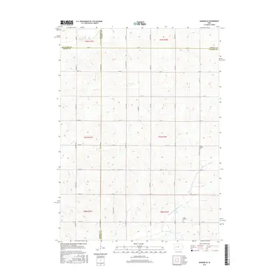
2015 Map of Manning SE
USGS Topo · Published 2015About this map
The agricultural landscape of west-central Iowa is defined here by the convergence of Carroll, Crawford, Shelby, and Audubon counties. The rolling terrain is drained by the E Br West Nishnabotna River in the southeast corner and Long Br to the northwest, with the sectioned grid of the Public Land Survey System dictating the placement of farm-to-market roads like Street F16 and Street F24. This 2015 survey shows a rural environment deeply rooted in its township structure, where community life is anchored by quiet landmarks such as the Lincoln Township Cem and Douglas Township Cem. The map provides a clear look at the enduring geometry of Iowa’s rural infrastructure, where named thoroughfares like Yellowwood Rd and Wildwood Rd bridge the gaps between scattered farmsteads and the headwaters of Lone Willow Cr.
Find a feature on this map
41 named features on this map. Tap any name to fly to it.
Don’t see what you’re looking for? This feature index may not catch every label — zoom into the map to look around manually.
Map Details
Editions of this 2015 Manning SE Map
This is the sole edition of this map. No revisions or reprints were ever made.
Other maps of this area

1954 · Omaha
USGS Topo · 1:250,000

1957 · Omaha
USGS Topo · 1:250,000

1957 · Audubon
USGS Topo · 1:62,500

1958 · Omaha
USGS Topo · 1:250,000

1971 · Templeton
USGS Topo · 1:24,000

1971 · Gray
USGS Topo · 1:24,000

1978 · Manilla
USGS Topo · 1:24,000

1978 · Irwin
USGS Topo · 1:24,000

1978 · Kimballton
USGS Topo · 1:24,000

1978 · Manning
USGS Topo · 1:24,000