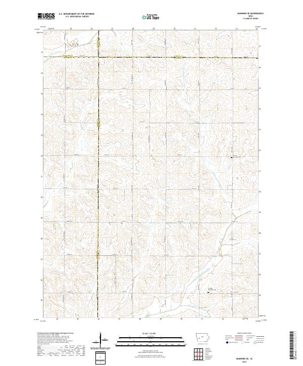
2022 Map of Manning SE
USGS Topo · Published 2022About this map
Agricultural patterns and river forks define this portion of western Iowa, where the W Nishnabotna River and the E Br W Nishnabotna River carve through the rolling terrain. The landscape is structured by a strict section-line road grid, including Street F16, Street F24, and Co Hwy M64, reflecting the deep-rooted township system of the region. This 2022 survey captures the area at the intersection of four counties, including the corners of Crawford, Carroll, Shelby, and Audubon.
Find a feature on this map
42 named features on this map. Tap any name to fly to it.
Don’t see what you’re looking for? This feature index may not catch every label — zoom into the map to look around manually.
Map Details
Editions of this 2022 Manning SE Map
This is the sole edition of this map. No revisions or reprints were ever made.
Other maps of this area

1954 · Omaha
USGS Topo · 1:250,000

1957 · Omaha
USGS Topo · 1:250,000

1957 · Audubon
USGS Topo · 1:62,500

1958 · Omaha
USGS Topo · 1:250,000

1971 · Templeton
USGS Topo · 1:24,000

1971 · Gray
USGS Topo · 1:24,000

1978 · Manilla
USGS Topo · 1:24,000

1978 · Irwin
USGS Topo · 1:24,000

1978 · Kimballton
USGS Topo · 1:24,000

1978 · Manning
USGS Topo · 1:24,000