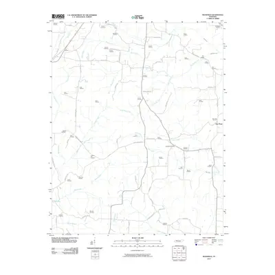
2010 Map of Mansfield
USGS Topo · Published 2010About this map
Mansfield Post Office serves as a central landmark in this portion of Henry County, surrounded by a landscape defined by its complex network of creeks and ancestral burial grounds. The terrain is marked by significant watercourses including West Sandy Creek, Pettijohn Creek, and Bear Creek, which have influenced the local road patterns and farm placements for generations. The abundance of family and community cemeteries, such as Dumpling Hill Cemetery, Haglerville Cemetery, and Spring Hill Cemetery, provides a dense record of the area's rural genealogy.
Find a feature on this map
77 named features on this map. Tap any name to fly to it.
Don’t see what you’re looking for? This feature index may not catch every label — zoom into the map to look around manually.
Map Details
Editions of this 2010 Mansfield Map
This is the sole edition of this map. No revisions or reprints were ever made.
Other maps of this area

1936 · Mansfield
USGS Topo · 1:24,000

1936 · Vale
USGS Topo · 1:24,000

1936 · Bruceton
USGS Topo · 1:24,000

1936 · Manleyville
USGS Topo · 1:24,000

1936 · Paris
USGS Topo · 1:24,000

1936 · Springville
USGS Topo · 1:24,000

1938 · Springville
USGS Topo · 1:24,000

1940 · Manleyville
USGS Topo · 1:24,000

1941 · Manleyville
USGS Topo · 1:24,000

1950 · Osage
USGS Topo · 1:24,000